Descrizione
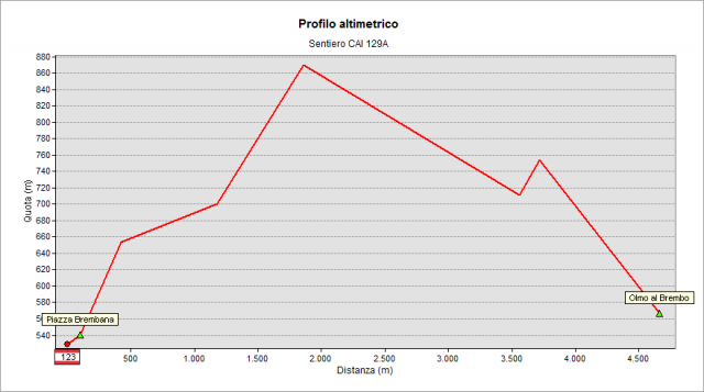
Getting Olmo al Brembo on SP1 road toward Mezzoldo, just after the SP8 road bridge leading to Cusio and Averara, you see the old Olmo Bridge. In front of it lies the starting point of129A path. The mule track that was once the "Valley Road", at the end of the sixteenth century, was the main road of the valley passing by the “Corna di Frola”. The mule track climbs up behind the houses with a first steep stretch to the crossroads above the Municipal Sport Centre. Turn left, leaving the mule track, and climb in the woods, with two hairpin bends heading to Piazza Brembana.
Ignore the deviation to practice cliff of “Corna del Dente” and the crossroad of 129 path leading to “Roccolo di Calche”, follow the flat path among hazelnut trees and then climb gently along the borders of meadows of the knoll of Frola, Reach a gorge (715m a.s.l.), where a small cross reminds that until a recent past the border between Olmo and Piazzolo ran on this natural line. Along the hillside, gently climbing among mixed woods dominated by hop-hornbeams, flowering ashes and Scots pines, cross Campelli and Soseni (Suseé) valleys and finally get the Soseni Bassi neighborhood (about 840 m). The path goes downhill to a crossroads: turn right and follow to go down cross a little valley. At the next crossroad, turn left. Beyond a clearing with a panoramic view, cross the valleys: “Val Mezzana” and Val S. Carlo. Here there is the crossroad with 123 path (on the left, leading to Roccolo di Calche). The path now overlaps 123 path (mule track, passing by some erratic boulders) and gets the houses of Piazza Brembana near the fourteenth century Church of S. Bernardo. Turn right, pass under the arcade and walk on a stretch of the old via Priula. At the crossroads with Belotti Street the path ends.
Topografia